My experience of living or travelling abroad from Tanzania
By now, a lot have been written on the internet about this topic. But i thought i share some the experiences i found as i am living abroad myselft. Living or travelling abroad is one of those things that one get excitend before they actually go abroad but the experiences changes as the time increases. Some […]
Interview for University of Turku Global South blogposts.

How would you define Global South? Based on UTU Global South Network, it is the network of members from UTU who have the relation in one way or another from the one or many of the Global South (GS) Countries. Members in the GS networks are either originated from one of the GS or working […]
I am amazed of the pictures i have taken so far
Tanzania Resilience Academy
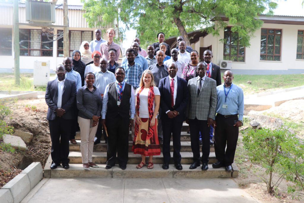
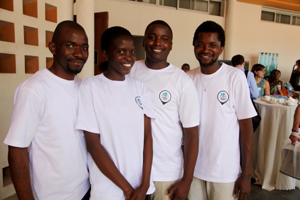
It all began with Ramani Huria Initiatives where community members in Dar es Salaam with the help of University students, collected data and generated maps for resilience purposes. This is because 80% of Dar es Salaam settlements are in the informal areas and every year affected by rainy floods. Community members living in these areas […]
Young Professionals in Turku, Finland for Geo-ICT
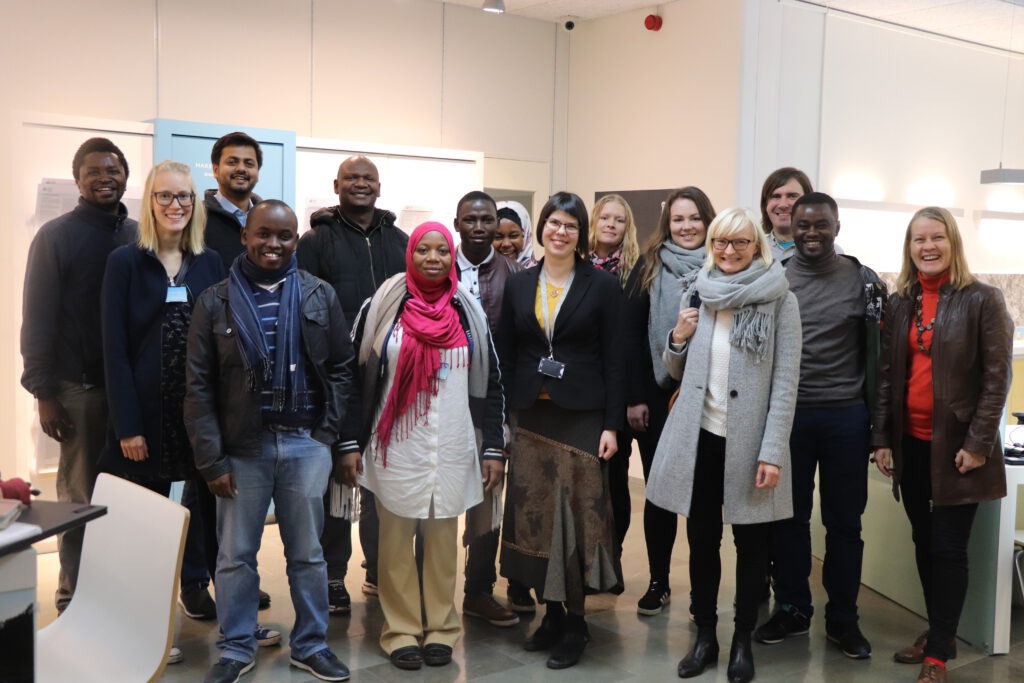
Under the Geo-ICT project which is coordinated from the University of Turku in Finland, Universities in Tanzania such as SUA, SUZA, UDSM and ARU are working together to learn and share ideas. Part of the function of the project is to provide capacity building to trainers which is shared from within the University Network between Tanzania […]
Ramani Huria Project – Dar es Salaam
About Me. I am a spatial planner by professional from Tanzania but have more experiences from Europe and Latin America based on the same field. I have been working at the World Bank since 2011 as the Geospatial and community mapping specialist before I went to have my Masters for two years. Now I am […]
How Dar’s experience is transferring over to Mozambique

In Tanzania, community mapping started in 2011 with a project called “Ramani Tandale”. This project invited community members of Tandale ward in Dar es Salaam to participate in data collection using very simple mapping tools – for example GPS, Modem, Notebooks, Pens, and Cameras. Over one month, assisted by students, these community mappers had covered […]
Community Mapping Mozambique

In 2011 i had a chance to participate on community mapping in one of my community Tandale. This has been ever an experience i had in my life where i got to participate on something could help my community immediately after i have graduated my Degree from Ardhi University. Due to its potential and importance […]
FOSS4G 2018: Dar es salaam
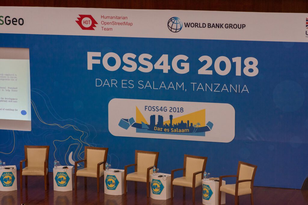
Baada ya kufanyika nchi tofauti duniani, FOSS4G2018 inakuja Tanzania. Hii ni kusema kwamba Africa kwa ujumla tunaungana pamoja kuonyesha na kujadiri kazi za utengenezaji na utumiaji wa reamani katika miji yetu kwa ajiri ya maendeleo endelevu. FOSS4G yenye kirefu chake “Free and Open Source Software for Geographic” ni mfululizo wa makongamano ambayo huandaliwa na OSGEO […]
Different between drones imagery against other imagery

Two days ago I had an opportunity to have an interview with Deogratius Minja, one of the community mapping analyst at the World Bank Tanzania and currently a person who organize drone mapping project in Zanzibar; he accepted to have big difference between these two imageries. According to him, drone mapping has high resolution up […]