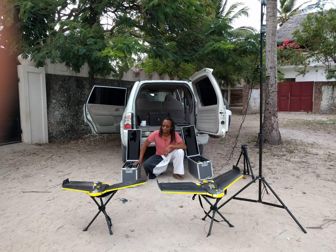
Two days ago I had an opportunity to have an interview with Deogratius Minja, one of the community mapping analyst at the World Bank Tanzania and currently a person who organize drone mapping project in Zanzibar; he accepted to have big difference between these two imageries. According to him, drone mapping has high resolution up to 2.8 centimeter which is very useful for planning and critical analysis while other imagery has the low resolution of about 50 centimeters.
This means that, drone imagery have less error when used into actual use. However, when I asked him on the way drones are able to overcome wind and clouds, he said drones are one among the few technologies that are free from clouds when capturing imagery compared to google where the clouds are everywhere in the imagery. This hinder some critical imagery analysis especially from google imagery for example land use capture.