About Me.
I am a spatial planner by professional from Tanzania but have more experiences from Europe and Latin America based on the same field. I have been working at the World Bank since 2011 as the Geospatial and community mapping specialist before I went to have my Masters for two years. Now I am back at the World Bank supporting GEO-ICT, Open Data and Tanzania Urban Resilience Program (TURP) team and more mapping projects in Tanzania Zambia and Mozambique. Furthermore, I am recently joined the University of Turku (UTU) team to support and coordinate the GEO-ICT and Participatory Mapping research projects between 5 partner universities in Tanzania and beyond.
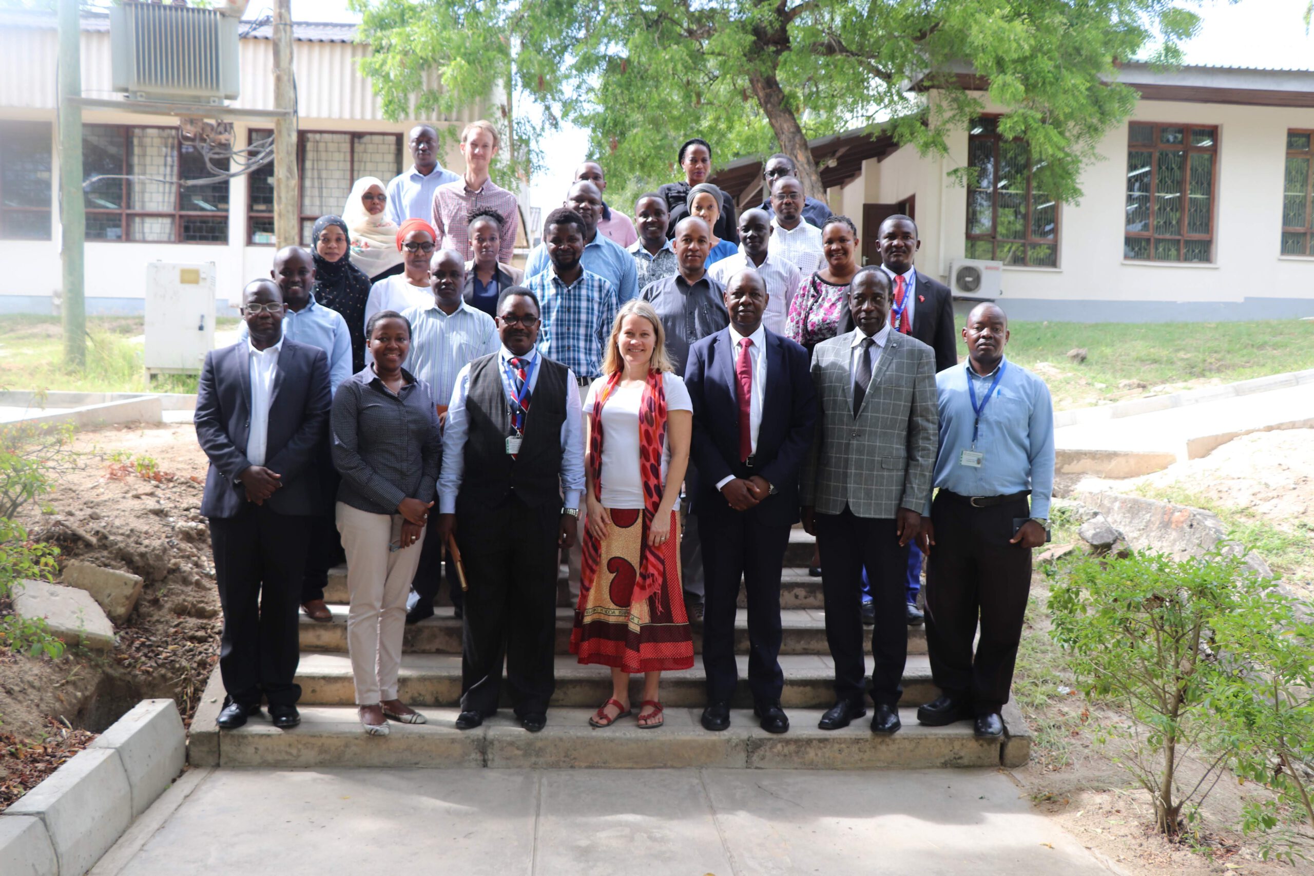
There are couples of good projects which I have done personally with my Previous and my current works which are based on Geospatial. However, in this article, I would like to present Ramani Huria project. It is the community-based project where community members and the students are involved to create high accurate maps. In this project, training of the local community members and the students is done to create highly accurate maps of the most flood-prone areas of the city. The project began in Dar es Salaam since 2015 which using open source tools like QGIS, JOSM and OpenStreetMap among other tools.
Challenge
Dar es Salaam is one of the most rapidly growing cities in Africa. More than 70% of urban infrastructure comprises of unplanned settlements which is prone to annual floods. Due to poor infrastructure, inadequate drainage and lack of solid waste management, residents of these informal settlements are vulnerable to losses of property and sometimes loses of their lives amidst severe flooding.
One crucial dimension of the problem is lack of spatially explicit information of the infrastructures combined with lack of participation of local communities. In the absence of up-to-date map data of the settlements and infrastructures, data-driven decisions cannot be made. Furthermore, most of the decisions are made by individual persons, such as Ward Executive Officers (WEO) or local Mtaa Leaders who are the Local Government leaders. The decisions are therefore based on the experiences from the community and interpretation of information they get from being the leaders in respective settlements. Other decisions are based on outdated maps from 1980’s which shows only contours and natural features. Lack of up-to-date maps, up-to-date data of settlements and infrastructures hinders better decision-making from the Central Government and the Local Government as well. As a result, community members become less resilient to flooding each year due to 1). Lack of information regarding the flooding from the resident areas where most of the community members buy land during dry seasons, 2). The community lives into the areas where there is less cooperation between the government, NGO’s/CBOs and the community members.
Aim
The project aimed at enabling hazard and risk analysis of flooding and building understanding of community exposure to floods. Also, to improve understanding of urban infrastructure vulnerability and to inform maintenance and planning of infrastructure. Most importantly, it aimed to build local skills and capacity to communities, town planners and local leaders and to support risk awareness activities related to urban flooding by creating capacity for community feedback mechanisms during flood disasters.
Result
The objective of Ramani Huria is to map the whole city of Dar es Salaam. By now (May 2018), more than 60% of Dar es Salaam has been mapped (45/90 wards). So far, the mapped area comprises over 4 million people, 450,000 buildings and 1,700 schools. Furthermore, more than 470 university students have been trained and more that 300 Red Cross community members have been involved in the mapping. The impact is geographically and expected to expand as Ramani Huria operations spread to other areas in Dar es Salaam.