- How would you define Global South?
Based on UTU Global South Network, it is the network of members from UTU who have the relation in one way or another from the one or many of the Global South (GS) Countries. Members in the GS networks are either originated from one of the GS or working on the project in one of the GS or doing a research in the GS counties or even simply to be interested to be the GS network. The purpose of the GS network is to connect among network members, to exchange experiences and help each other while conducting the works in the GS countries but also to have fun as the network
2. How is your work related to Global South? If you are part of a certain project, you may introduce it here?
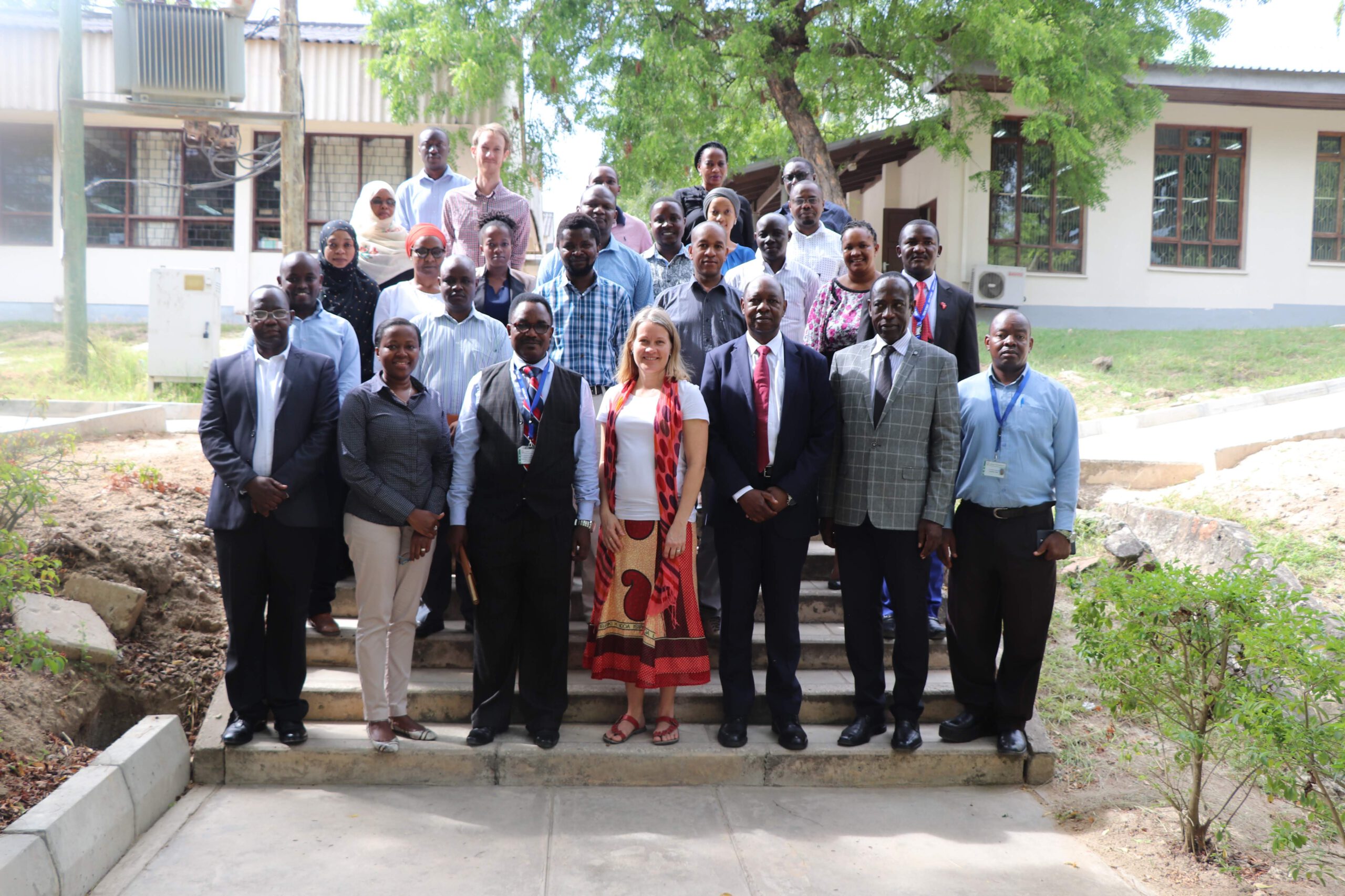
I am originally from Tanzania, one of the Global South countries. Furthermore, I am a managing a project called Tanzania Resilience Academy. It is a cooperation between five University partners, in Finland and in Tanzania that aims to establish the foundation of the Resilience Academy and to develop a long-term practice to support the generation and usage of geospatial data for urban resilience and to embed the associated academic and practical skills into Tanzanian Universities.
Resilience Academy is therefore led by four Tanzanian universities with the University of Turku (UTU) acting as the Secretariat. The four Tanzanian Universities includes Ardhi University (ARU), University of Dar es Salaam (UDSM), Sokoine University of Agriculture (SUA) and State University of Zanzibar (SUZA). Other Universities being involved in the Resilience Academy are TU Delft and the University of Twente – Faculty ITC (the Netherlands).
Resilience Academy objectives are based on the following activities:
- Establish a Climate Risk Database (CRD) environment as a content management system for climate risk information and research,
- Develop open-access education materials regarding the usage, analysis, and visualization of data contained in the Geonode through partnerships with local Tanzanian Universities and to support the integration of these materials into university curricula and training of the staff and students,
- Develop a Student internship modalities model based on partnerships with end-users with the aim of updating the geospatial data and providing university students with practical skills needed to apply their acquired academic knowledge in society and
- Research and Innovations, coordination and planning research and innovation opportunities between university partners, different actors and Resilience Academy.
Currently, the Resilience Academy establishing a Secretariat, which secures the service delivery of the Resilience Academy and adds capacity for digital assets management, research and innovation initiatives and dissemination.
3. Have you been living in or visited the so-called developing / Global South countries? When? What kinds of experiences do you have? Tell me a story about Global South and/or Finland!
As I mentioned from the previous question, I am from Tanzania but currently managing the Resilience Academy project from Finland. The experience is quite different from each country in many ways especially social wise, development wise, etc
4. What kind of fieldwork do you do and where? Do you have any specific story/memory about Global South research?
I am a Spatial Planner by professional from Ardhi University, but i have been working at the World Bank Tanzania since 2011 focusing on many projects that are related to geospatial, ICT and community mapping in Tanzania and several African countries. It all began when I graduated my university when I wanted to help my community. Due to the increased informal settlements in my City, I was working with community in the flooding areas to identify informal settlement challenges that could be seen and acted up on by the Government. It’s up until when I was working with the World Bank where I have co-led the Ramani Huria community mapping project among others for Africa’s fastest growing city, Dar es Salaam. So far this has impacted over 3.5 million residents of the city providing basemaps and flood evacuation plans, while coordinating a consortium consisting Red Cross, local universities and Tanzanian government ministries and agencies.